- Úvod - TIC Nový Jičín
- Info center
- Tourist tips
- Tourism and educational trails
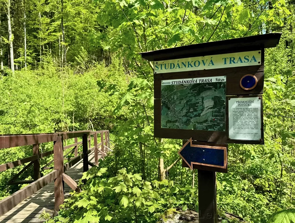
- Well trail around Puntík
Well trail around Puntík
Route: Nový Jičín-Žilina, school (0 km) → Studánka U Mlýnků (1.6 km) → Mariánská studánka (0.8 km) → Turistická studánka (1.5 km) → Studánka U Kříže (0.2 km) → Studánka U Ivana (0.3 km) → Studánka U Sovy (0.8 km) → Nový Jičín-Žilina, stop U Partyzána (1 km)
You can take the route from both sides, depending on your personal preferences.
Route length: approx. 6 km
Difficulty: easy
Walking time: approx. 1.5 hours
Recommendation. Please note that there are no refreshments on the route.
Description and points of interest along the route:
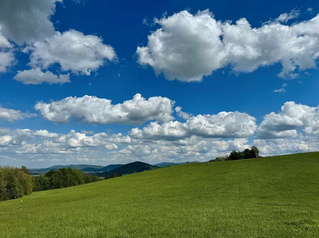
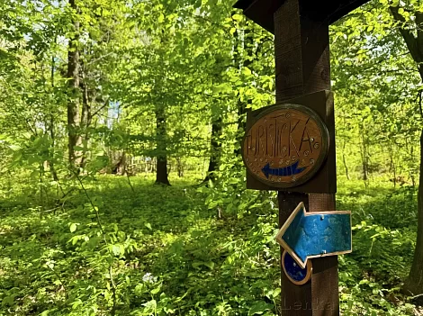
The trail starts with a signboard with its map in the upper area of the local part of Žilina (approximately 50 metres above the bus stop U Partyzana). The blue marking will lead you to a forest path along a gently ascending path. After less than a kilometre, the first beautiful view of Nový Jičín with the Oder Mountains in the background and, if conditions are excellent, the Jeseníky Mountains in the background. The trail then leads along a purpose-built road to the "gas station" and from there it leads to the first well on the trail, the oldest one called U Sovy. It got its name thanks to a 300-year-old linden tree inhabited by hermits. Unfortunately, the lime tree no longer grows at the well.
Another well, Holaschke, was named after the former owner of the local fields. In the dry summer of 2018 it dried up completely, but after a record rainy summer two years later the well regained water again. Further along the trail there is a stone well and a small rest area. After refreshments and regaining your strength, you can continue along the trail or turn to the three less watered wells U Mostku, U Jany and U Ivany. The trail then continues upstream to the U Mloků well, which is said to have the best quality spring in the whole area. The occurrence of newts, which gave this place its name, proves it. After crossing the stream, you will reach another fountain called U Křížku. The water from the distant abundant spring was brought here around 1933 by the farmer Rudolf Rampfler, who built a hut and an Alpine-style cross. The hut burnt down quite soon. A small "notice board" on the site tells all about it. The rebuilding of the cross, the new water supply and the construction of all the bridges was mainly the work of the Native Club.
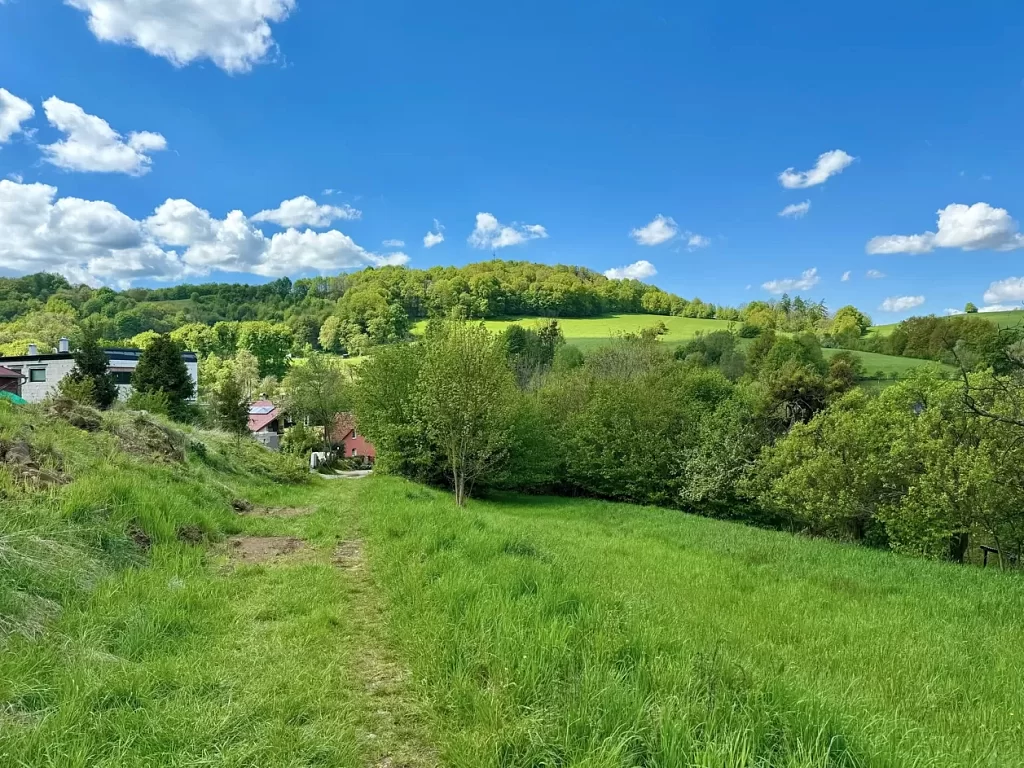
Continue up the path to the tenth well called Turistická. In order not to miss it, you must not miss the turning to the right in the partly overgrown forest. Go back a few dozen metres from this second "Rampfler" well from 1931, then come out of the forest and turn left at its edge. At the "gas station" you will find more wonderful views, this time of the Beskydy ridges, the town of Štramberk and a little further on, Příbor. In good weather you can also see Frýdek Místek.
After a while, the blue marking will lead you from the Rybí municipality to the local part of Žilina. Then you will reach the Mariánská studánka, which is the source of a local stream called Krumpoch, Rakovec or Křivý potok. A stone with the year 1919 commemorates the restoration of this ancient well after World War I. The last well on the route is the U Mlýnků well. Here you can find refreshments, a stone trough with the year 1808 and several mills located on the slope. After you leave the forest on the asphalt road, you can decide which way to go back to Nový Jičín. You can take the shorter route along the asphalt road to Žilina to the kindergarten or the longer route across the fields to Lamberk, where you will find the Na Prachárně restaurant, the football field and the Lamberk water area.